Find a RoadLive Map Ride ThereFree GPXSaved ridesRide historyShare a rideHand off a rideClub invitationsEvent checkpointsCommunityReport a roadDiagnosticsMy Garage

117284 roads measured for corner count, gradient and summit. Free GPX on every one.

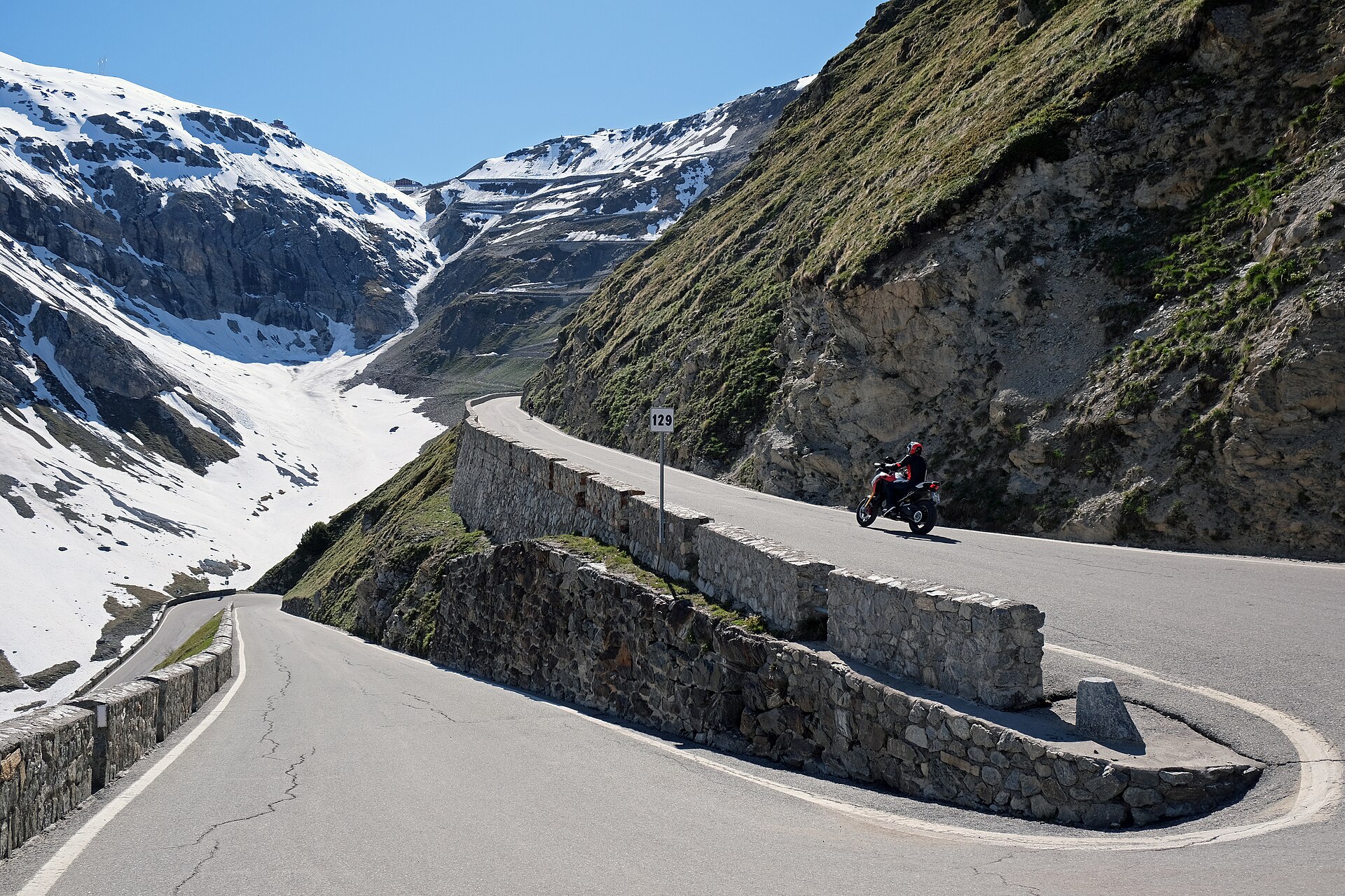
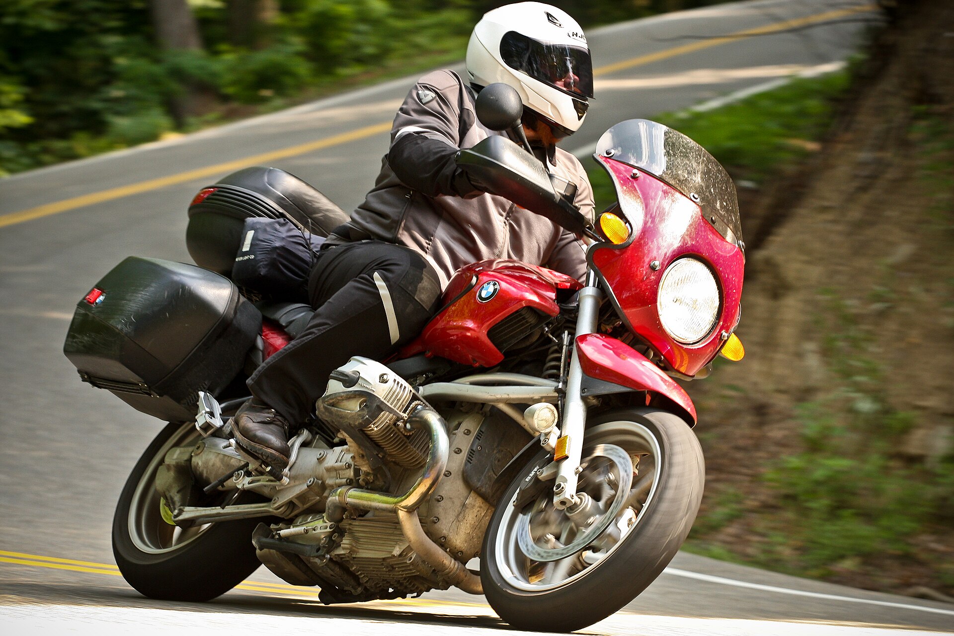
A rider on the Tail of the Dragon, US-129

Deals Gap · US-129 · North Carolina

318 curves.
Eleven miles.

No intersections. No driveways. Nowhere to pass. We counted every corner on 117,284 roads in 107 countries, so you know what you are turning onto before you get there.

Photo: llahbocaj from nyc · CC BY 2.0

Roads worth the trip

Measured for corner count, gradient and summit height — not voted on.

See all 298 →

Every road on one map

All 298 roads we have measured. Click a marker for the figures.

Open the full map →
298 roads
117,275Roads measured
30,341,094Corners counted
107Countries
10mElevation model

Your private ride tools

Open Ride history after signing in, then choose a saved ride ID and its exact revision. Location recording begins only when you press Start and remains foreground-only.

Share a completed ride by choosing it from your signed-in history, setting a per-card privacy zone, and downloading a locally redacted PNG. This does not publish a URL or protect GPX exports.

Open Event checkpoints after signing in, then enter the club ID and event ID supplied by your organizer. Checkpoint claims are rider-submitted evidence, not safety monitoring.

Free, and staying that way

Every road, every corner count and every GPX file on this site is free. You never need an account; sign in only if you want your garage on more than one device. We do not sell where you rode, and we never will. If a route here saved you a wrong turn, put something in the tank.

Buy us a beer